

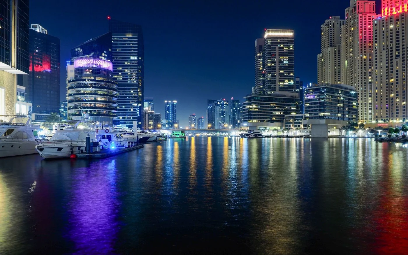
A waterfront address can put a walkway outside your building, across a busy road or on the other side of a gate. For residents, the useful comparison starts at the building entrance. Where can you get down to the water? Can you cross where you need to? Does the same route take you to groceries, a tram or a boat you can use on a workday? Dubai Marina, the Dubai Water Canal at Business Bay and Dubai Creek Harbour offer different answers because their waterfronts connect to the city in different ways. Dubai Marina neighbourhood guide · Business Bay neighbourhood guide · RTA’s transport timetable
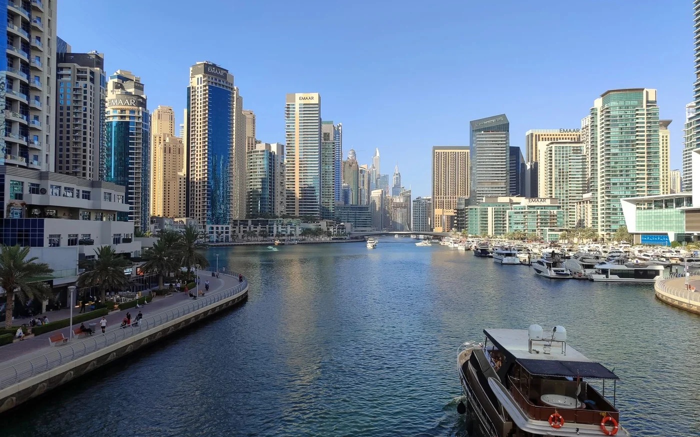
Dubai Marina: A promenade that can double as an errand route
Visit Dubai describes Marina Walk as a 7 km pedestrian route along both sides of the marina, with cafés, shops and restaurants along the way. The published length describes the wider walkway, while your route depends on where you enter and which bank you need. If a property listing says it opens onto the promenade, ask the agent to show you the exit a resident would use. From there, follow the walk to a shop or transit stop you expect to use. Note where you have to change level or cross the road. That short test tells you more about the address than the length of the promenade. Visit Dubai’s Marina Walk description
Dubai Marina Mall gives the route a practical destination. The mall lists a supermarket and directs tram passengers to the Dubai Marina Mall stop. It also gives a walking route from DMCC Metro via the overpass. RTA’s map lists those stops as well as Sobha Realty farther along the Red Line. If the tram or metro matters to your commute, start at your tower’s street entrance and follow the route to the actual platform. The mall is a useful reference point, but the best stop can change from one end of the Marina to the other. Mall access and supermarket information · RTA’s rail and tram station map
Compare the route you would use with shopping bags to the one you might take on an evening walk. If you enter the waterfront by steps, check whether there is another route for a pushchair or luggage. Ask the building manager whether the promenade door is available to residents throughout the day or if another exit is required at certain times. A visitor can start from the mall. A resident may make that same trip from a lower lobby, from the street or from an entrance on the other bank. Check the route from the door you actually use.
Business Bay: The bank and the bridge determine the route
Visit Dubai identifies the Dubai Water Canal as a public space with paths on both banks and five pedestrian bridges. The 3.2 km waterway and the 6.4 km of waterfront paths measure different things. If the place you need is on the opposite bank, first identify the crossing you will use and then work back to your building entrance. Tolerance Bridge is a landmark near the canal’s route past Safa Park. That makes it useful for orienting yourself, while the best crossing for a particular trip depends on the starting address and destination. Visit Dubai’s canal access and bridge guide · Business Bay canal connections
For a commute, check the route to Business Bay Metro from the building’s public entrance. Visit Dubai describes the station as a starting point for a walk to the canal near the waterfall. That makes it a useful reference for one stretch. A tower farther along the canal may have a different walk, especially if you first need to change banks. Plot the route to the station before visiting and check the road crossings in person. If you expect to cycle, look for the point where you would leave the canal route and reach your destination. Business Bay Metro to the canal
At the viewing, check whether the frontage you can see is reached from the street, the building podium or an adjoining property. The public canal path can be useful even if your building has no direct waterfront door. Walk the connection in both directions and note the bridge or crossing you would use for everyday errands. For a property with a water view, that short walk is a separate check from which direction the living room faces. Public canal paths and bridges
Dubai Creek Harbour: A promenade with scheduled crossings by water
Visit Dubai describes a 6 km promenade at Dubai Creek Harbour and identifies The Viewing Point as a free place to visit. Use the public-facing promenade and viewpoint as landmarks when comparing addresses. If a property advertises access to a pool, beach or private terrace, ask the manager whether it is part of the same public route or has separate access terms. A public destination at the waterfront tells you where a visitor can go. It leaves questions about how a resident gets there from a particular tower and what other facilities come with the home. Visit Dubai’s Creek Harbour guide · The Viewing Point visitor information
RTA’s timetable lists CR9 between Dubai Creek Harbour and Dubai Festival City, and CR11 between Dubai Creek Harbour and Al Jaddaf marine stations. Treat the sailing as one part of your trip. Check the walk to the departure pier, the departure time on the day you intend to travel, and the onward leg after the boat arrives. Look up the return too, especially if you are using it for an evening errand. RTA’s initial 2024 announcement and later timetables show different operating windows, so use the published timetable for the date of travel. RTA’s regular marine timetable · RTA’s original Creek Harbour route announcement
The future Dubai Metro Blue Line includes a Creek Harbour station. RTA lists the line as an ongoing project and gives 2029 as the scheduled completion year. For a move today, base your weekday journey on the current boats, road routes and other operating connections. If the future station matters to a later decision, check the project separately and allow for the route from your own building once its access points are confirmed. RTA Blue Line project status · RTA’s Blue Line programme
Check where a grocery trip meets the waterfront
In Dubai Marina, the choice can be between a trip through the mall and a shop reached at promenade level. Géant lists a Marina Quays branch on the promenade level of the West Tower. Dubai Marina Mall lists a supermarket and publishes separate access information for tram passengers and people arriving by car. Try the route you are likely to use with a full bag. If you will usually arrive by tram, check whether you can fit the shop between the stop and your building. If you drive for a larger shop, ask where you unload and whether the parking lift reaches the floor you need. Géant’s Dubai store locations · Dubai Marina Mall access information
Business Bay has retail away from the canal edge as well as businesses facing the water. Bay Avenue’s operator locates it near the Metro and describes it as serving the Executive Towers and surrounding buildings. That makes it a useful landmark for a trip toward the station. If your prospective home is on another stretch of the canal, check the inland route to the shops as well as the path beside the water. They may be two separate walks. Ask the agent to identify the crossing you would use at the end of a workday, then try it from the building’s street entrance. Bay Avenue’s location and services · Visit Dubai’s Business Bay guide
At Creek Harbour, Géant lists a branch in the South Podium of The Dubai Creek Residences. The podium address helps you look for the shop at the right level. From a different building, check how you reach the entrance and whether the trip fits with your walk to the pier. A supermarket on the same waterfront can be a useful local stop without being on the path you take home from a boat. If you want to combine the two, walk them in sequence and identify where you would carry shopping if a route includes steps. Géant’s South Podium listing · RTA’s Creek Harbour station routes
Compare the whole journey, including the return
| Area | Documented connection | Check on your trip |
|---|---|---|
| Dubai Marina | Marina Walk, Dubai Marina Mall tram stop and the mall’s published DMCC overpass route | Which building door and path get you to the platform or supermarket with the fewest level changes? |
| Business Bay and Dubai Water Canal | Public paths along both banks, pedestrian bridges and a Metro approach to the canal near the waterfall | Which bank is your destination on, and what crossing and inland link do you need? |
| Dubai Creek Harbour | Promenade, Viewing Point and RTA marine links to Al Jaddaf and Dubai Festival City | How long does the trip take when the walk, waiting time and return departure are included? |
For a weekday commute, pick the first trip you cannot move to another time. In Dubai Marina that might mean a walk to the tram, a wait and a connection to the Metro. In Business Bay, it could mean taking an inland route to the station after crossing the canal. At Creek Harbour, check whether the sailing and onward connection fit the time you have to arrive. If the return depends on a scheduled boat, decide how you would travel on a day when you miss it. A waterfront path you enjoy on a viewing can also be useful on a workday when it connects the right doors and crossings. RTA metro and tram map · RTA timetable
If you use a wheelchair, a pushchair or a trolley, check the transitions between the building, street and waterside path in both directions. Ask the manager which door has step-free access and whether a lift serves the level you need. On a trip involving a bridge or pier, inspect the approach and the return route. If you need to use public transport, ask the operator about boarding for the specific station or service. A long level section along the water may still be reached by a route with steps or a steep ramp. Keep a note of the route that works for your household.
For evening errands, confirm which door or gate you will use on the way back. A public walkway may remain accessible while a route through a shop, hotel or building lobby closes or needs a resident card. For a delivery or a taxi, ask for the street-level drop-off point and check it separately from the waterfront entrance. If you often arrive with luggage or groceries, the drop-off can matter more to the daily routine than a direct view of the water.
Test the two trips that matter most to your household
Take a household with one person commuting by rail and another doing the weekly shop on foot. In the Marina, they might test a tower’s street exit to the tram and the return via the supermarket. A route with a lift at the building and a road crossing near the stop may suit them better than a shorter route with stairs, especially if they often carry bags. At Business Bay, they could start at the same building door and walk first to Bay Avenue and then to the canal. If the canal is easy to reach but the shop requires a long detour inland, they can decide whether those separate trips fit their routine. Marina Mall transit directions · Bay Avenue’s location
A household with a flexible schedule might weigh Creek Harbour differently. Try an outbound crossing on a day you would make the trip, then plan a return at the hour you normally finish. Check whether your route continues on foot, by rail or by road after you arrive at the other pier. If the next departure leaves you with a long wait, look at the road alternative and decide which trip you would use regularly. The published marine routes establish that the crossings exist. The time spent getting to the pier and from the other side to the destination determines how useful they are for your trip. RTA’s marine route listings
For either household, take the route from the correct entrance at the time you would normally leave. A viewing arranged at midday can make a path feel different from the same walk before work or after dark. Look for shade where you wait, a way to cross the road and a place to pause if you are carrying shopping. If a bridge or footpath is temporarily closed when you visit, identify the signed diversion before counting it as part of your routine. The route that works in both directions is the one to compare with the next address.
Keep a short record for each property you view. Write down the entrance, the shop or stop you tested, the crossing or lift you used and what the building manager confirmed about access. If two properties have similar views, that record can show which one makes the routine easier. A tower with a convenient street exit may be the better choice for errands, while an address closer to the water may be the better choice if an uninterrupted evening walk is what you would use most.
On a second visit, test the route that would be hardest to replace. If you normally collect groceries on foot, take that route back with a bag and see where you have to cross or change level. If you rely on the boat for a connection, check the onward stop and return sailing together. If a daily walk matters most, follow the bank past the building and see where you can turn back or cross. Record what you could use on the day and what would depend on building access or a future project.
Comments (0)
No comments yet. Be the first!